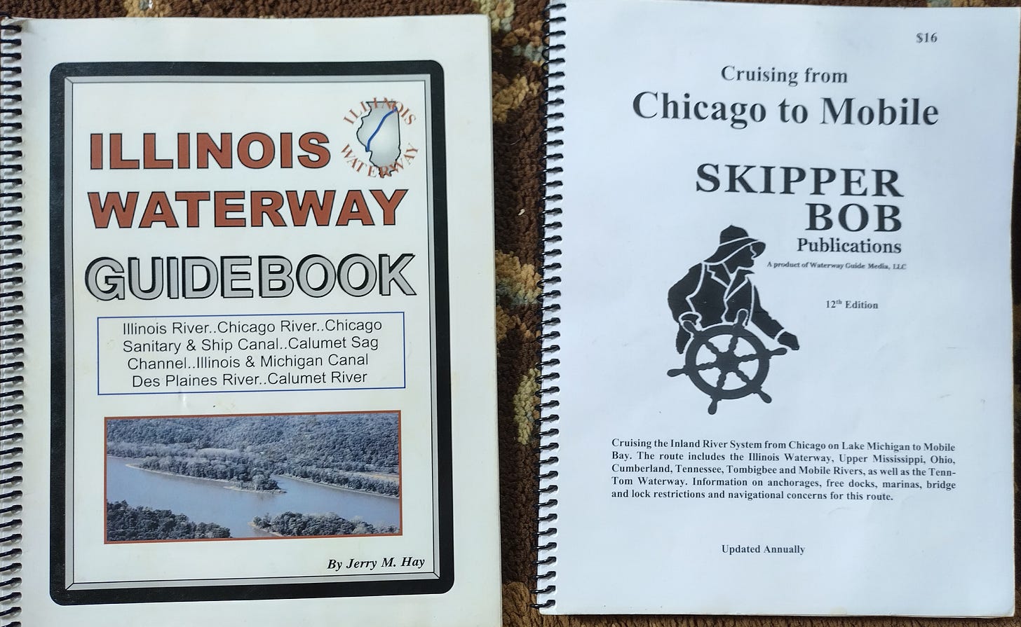
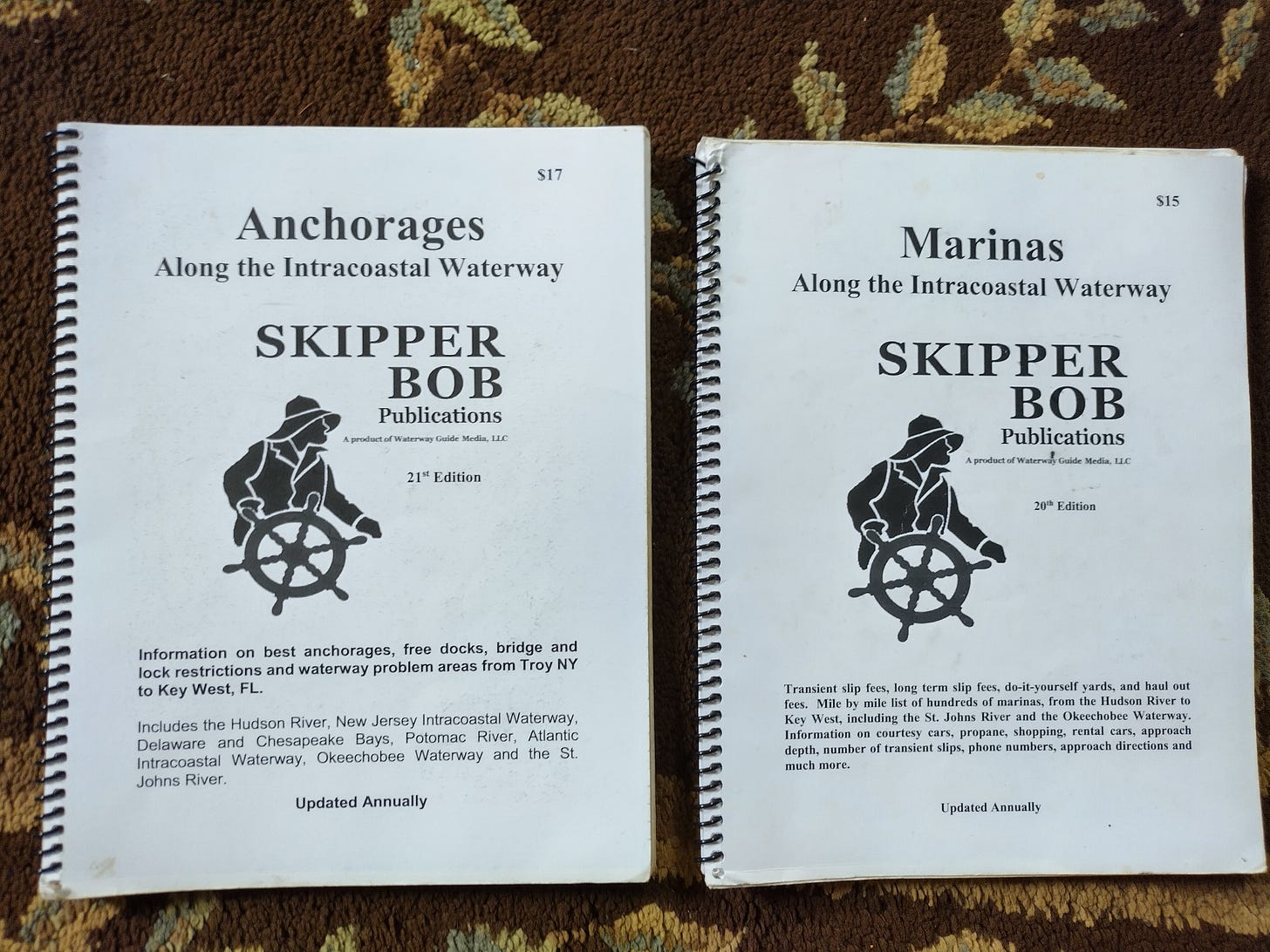
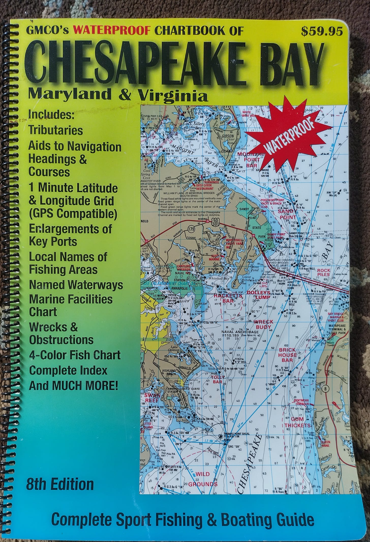
It’s time to return to Sailing Saga of the Sea Marie. I hope you enjoyed my cycling adventures. Cycling has been a passion of mine as is sailing and thanks for sticking around.
I want to thank all the people that have subscribed to my posts. It’s been phenomenal to see the numbers going up and yes, I have seen the numbers going down. Case in point earlier last month I witnessed a significant drop. Like 5 to 10 opt-outs within an hour and this went on for several hours. I checked one of my Facebook group sites and found someone had erroneously posted that my Substack was a scam. They claimed they had been getting junk emails from me. Which is totally absurd. I tried to contact this individual but I received no reply and their FB page appeared without any information as to who or where this person was from. Also strange was the page was created just an hour prior to their posting and was never a subscriber. No other posts, no pictures, no info. I notified the Admin of the Facebook group site and they had taken it down. The number of people that opt out stopped.
So my plea to you is if you notice any unusual activity you think may have come from me or this Substack site please take the effort to notify me. I am accessible and I read all the comments and on many of them, I will respectfully reply. You as the reader are very important to me and I will do everything I can to make your experience as rewarding as possible. Whether you are a free subscriber or a paid subscriber I want you to know I will be honest in my information to the best of my ability and I welcome any and all comments. If there is something you don’t understand or have heard a different version or even if you find a typo that got away from me please let me know. So that being said let us continue.
Guidebooks
If I weighed all the guidebooks I bought, borrowed, and printed out they would probably equal the weight of the lead enclosed in the fiberglass in the shoal keel of the Sea Marie.
A guidebook does just that, it guides you mile by mile into unfamiliar territory. It becomes your friend, a trusted comrade, a confidant who not only knows the way but is willing and able to tell you what they found. Helps you with your day-to-day planning. You know where you are going and if trouble should rear its ugly head, bail out points, safe anchorages, and other marinas.
A good guidebook is worth its weight in gold and Skipper Bob's publication is quite frankly a national treasure. Because Skipper Bob is updated annually the information is current. So hold off buying Skipper Bob’s latest copy just prior to your departure.
I made the beginner’s mistake of not ordering a hard copy of the Cruising Guide to the Gulf Coast in time for my voyage. Not a big problem as Skipper Bob had an E-Book available online. I purchased the book and printed out the pages for my use. Just didn’t have that neat spiral-bound feel the other books had. One of the nice features Skipper Bob’s guidebooks have is the margins are wide to write your notes down for reference later in the day. I jot down the name of the person I spoke to on the phone and any pertinent information as to the location or features I need to be on the lookout for coming into their harbors or docks.
Even road maps are handy for identifying landmarks and getting the big picture of your location.
The spiral-bound Waterway Guidebooks are huge, heavy, and expensive. Loaded with colored photos and detailed maps and charts. Overhead pictures of the marinas, bays, and inlets establish your point of reference. You know what is around that next bend. But we know the waterways are not a stagnant environment. Keep in mind, that it changes from year to year, even day to day for some areas with frequent shoaling and floating obstacles. To be forewarned is to be forearmed.
A couple of words of caution on the Skipper Bob’s Guidebooks to the Intercoastal Waterway on the Atlantic side. They are written starting from the north to the south and the majority of Loopers travel from the south up to the north. So your voyage will start from the back of the guidebook to the front. Also note, I have both marinas and anchorage books open in planning your daily trip. The Anchorages and Marinas are interspersed so to plan an escape route or Plan “B” be aware of the location of both on your float plan.
Another source that is invaluable for its timeliness is online websites. Obtaining a good cell phone or wifi signal at a marina could be a daunting task. When available the website provided by Waterway Guide is an excellent provider of coastal information. Also of interest on the online Waterway Guide are the boater’s reviews. Not always timely and up to date but gives one an overview of what to expect either good or not so good.
At the time of my voyage, Active Captain was a favorite among skippers plying the waterways and provide much useful information on local knowledge such as shoaling and obstacles. Active Captain was sold to Garmin and though the app is free it needs a Garmin Chartplotter to interface with.
Two other websites of use were Marine Traffic and/or Vessel Finder. These websites will provide the real-time AIS location of the big container ships and commercial vessels as well as some of the private boats you will encounter. Getting this information is subject to your cell phone carrier signal. If you choose to use your laptop computer many cell phones could act as hot spots or you can purchase a separate hot spot through your phone carrier.
The Chesapeake Bay area is a favorite for many loopers. One can easily spend a summer visiting all the attractions on both sides of the bay.
One of my favorite sections to pilot through was the Erie Canal and having these guidebooks provided a lot of background on the towns I stayed at.
My bread and butter phone app was a subscription to Navionics. At the time I set sail, I wasn’t very familiar with all the features. I learned as I was underway. Didn’t know until I was underway in the Gulf ICW that the app had a plot course feature. The Great Lakes and the Inland Rivers weren’t that difficult to figure out going from point A to point B and it was rather straightforward, however, It became very useful on the east coast as I worked my way through the twisting channels and side cuts.


Don't know if you will cover other blogs that provide navigation in a different post but we found Bob423 who does tracks for and updates to the ICW invaluable- both for his postings which include current Coast Guard info and for the 9,000 plus active user group that shares information. Excellent roundup of the chart books.