Great Loop Day 016 Sept 13, 2016, Thunder Bay Island Channel Shortcut - Can We Do It?
Harrisville to Presque Isle State Harbor, MI
“That’s why we sail. So our children can grow up and be proud of whom they are. We are healing our souls by reconnecting to our ancestors. As we voyage we are creating new stories within the tradition of the old stories. We are literally creating a new culture out of the old.” —— Nainoa Thompson
< Day 15 Previous Post | First Post | Next Post Day 17 >
Day 16 Tuesday, Sept 13, 2016. Moma told me there be days like this. Really Mom. She came over from Europe to the US right after WWII on a ship that had endured many days at sea in stormy weather. There was hardly a day she wasn't seasick.
My day on the water wasn't that bad. However, I will feel it. Woke up this morning with burning pain on top of my right upper thigh. Did I lay in the bunk against my medication box next to me? No, one look, and I immediately recognized it as a nasty sunburn. Hurts only when I touch it or as it rubs against my wind pants. The pain and discomfort I can endure. For I know this too shall pass… and hold off the freedom sailing for a cloudy day.
This was to be the longest leg, 50-miler. As I studied the charts yesterday noticed a possible shortcut between the Michigan mainland and Thunder Bay Island and its sister Sugar Island. Going to decide how to handle it when I get closer and how the weather will be. Started out at 7:30 am with a moderate wind from the south and rollers behind me at around 2 feet.
Both wind and waves were helpful as I rode out the rollers. Predictions were for increasing winds and waves by afternoon. Gassed up the night before, 6 gallons in main, 5 gallons in the gas can, 3 gallons in the aux gas tank, and another 5 gallons in the gas can lashed on the port pin rail. On average I’m burning up a gallon of gas an hour with the throttle between 3/4 and wide open.
Wide rollers were gently propelling me forward as the sun shone in the East to warm the air. On the west in the distance clouds hung low on the horizon just over the conifers on the Michigan shore. The landscape was changing from deciduous trees that lose their leaves in autumn to conifers, evergreen trees, pines, and spruces. Appears to be no signs of human habitation on shore. The surface water temp had dropped as well. Lake Erie was well in the mid-70s. Now Lake Huron's surface water showing 66 degrees on my chart plotter.
Several miles past Harrisville I began to study the navigation app for more detail about cutting short the route going inside through the cut between Thunder Bay Island and the mainland. Passing Thunder Bay on my port I would be in deeper water but I would have much more distance to cover. Maybe a half hour or 45 minutes more. Inside the cut, the water depth averaged around 9 feet on the chart. With rocks icons sprinkled between the islands on the electronic chart. There are 3 islands. Thunder Bay is the largest and little northwest sits Sugar Island and a smaller island north called Gull island. I have to go West of these islands on my starboard side. I texted Noel who knows these waters. His boat is larger and carries a deeper keel. He replied he hasn't sailed between. But did mention the water level on Huron is higher than usual so it may be safe to venture. Higher by 3 feet so charts show a 9-foot depth that may now be 12 feet.
I noticed that at Sturgeon Point, the water depth read higher by 3 feet from the chart depth. Decision made, I’m going through. Now to watch the weather. Those clouds on the horizon grew a dark gray and spanned a good portion North and South still to the West of me. A check on my phone’s radar app confirmed a large green to dark green with a yellow blob of heavier rain was moving in a NorthEastward direction paralleling my course but creeping East at the same time. To be honest it's been quite some time since I sailed in the rain. Always made it a habit to avoid it if I can.
Back in the day, I crewed on a J24 out of Edgewater Yacht Club, rain was part of racing. As long as there were no severe weather reports we sailed. Donned our rain slickers and carried on. On board the Sea Marie I have my foul weather gear. The traditional rubberized bib pants and heavy rubberized jacket with hood. However, the radar only showed light to mod rain and it was moving fast. Half an hour or 45 minutes and it will blow over as it continues to trek to the East. For this, I donned my wind pants and my Put in Bay windbreaker with a hood. A good test for my innovative velcroed vinyl panels. Earlier I unfolded the bimini and now attached 2 panels one on the west side and the other on the north side over the companionway. Using the binder clips I doubled and tripled the binder clips holding the panels to the boat’s lifelines as I found this arrangement most satisfactory.
There was one significant glitch, on my Lowrance Hook 4 Chartplotter-fishfinder. The depths going over Thunder Bay were reading in the 90 to low 100 ft. For some mysterious reason, the readout jumped to 1.0-0.9 ft. Knowing full well I was in deep water. Checked the transducer attached to my rudder and it was clear. The wiring checks out. I turned the unit off and on, still reading 1.1 to 0.9ft. Then as I got to 80 ft of water it mysteriously returned to reading accurate depths. Did I discover a Thunder Bay Triangle? The other GPS and phone app worked fine. Just the Lowrance unit where 100 = 1.0. And thank goodness it returned the 2 digits as I was about to enter the channel between the islands and the mainland. Going to take a break and will return to the next part. Stay tuned on this same Bat Channel Same Bat Time...
Break time as I was fixing Mickey’s dinner and preparing one for myself.
Day 16 continued. As I left off yesterday on Sept 13 from Harrisville, I was attempting to cross the shallow channel between Thunder Bay Island and her sister Sugar Island and the mainland. Rain has started light at first then moderate. The rain curtains holding. Visibility was good to fair. Nothing in the channel spelled danger on the water but knowing full well what lies just under the surface had me on full alert. Electronics functioning. Onboard I have handheld 2 GPS units, a chart plotter, and my Navionics phone app program. The eTrex GPS is used for distance traveled, the Garmin handheld for contours and distance to marks, the Lowrance for depth, and the Navionics app for contours and bottom features like rocks. There are several options to navigate this channel and I am looking for the shortest distance in this shallow water. The closer I zoom on the phone navigation app the more details are displayed. Zoomed in and out frequently to locate and avoid rocks while maintaining my 7mph speed. There were several tense moments that required moving in close to these rocks and then veering off in a new direction. The depth finder has been going from 20 ft to 5ft had me holding my breath as I approached my marks. Still using my auto tiller I am hitting buttons to go left and right around the underwater obstructions as the rain continued to fall. Seconds turned to minutes hoping I picked the right track to follow. There's Sugar Island and the shallowest crossing to make. A left 5 degrees then a right 6 degrees now steady as she goes. Zoom in for more detail then zoom out for direction. Depth coming up to 5 feet again. Then drops to 6ft then 7ft back to 5ft staying clear of the dark blue recorded contour lines on the nav app. A few more turns and I'll be in deeper waters.
A stronger-than-expected gust of high wind strains at the rain curtains. “Hold on you bastards, Hold on!”, I yell at the binder clips. Just several hundred yards to deeper water. The rain and wind finally let up, and the waters begin to calm down.
I have done it!
I've made it through! On to Presque Isle! Thunder Bay Island along with its sister Sugar Island begins to get smaller in the distance behind me. A couple more hours and I can relax.
Check on the gas in my 6-gallon main tank and it's low. I get out the 5-gallon gas can and use the siphon pump to fill the main. Took almost the entire 5 gals. Love that siphon pump. Just had to make sure no rainwater entered the tanks during the transfer.
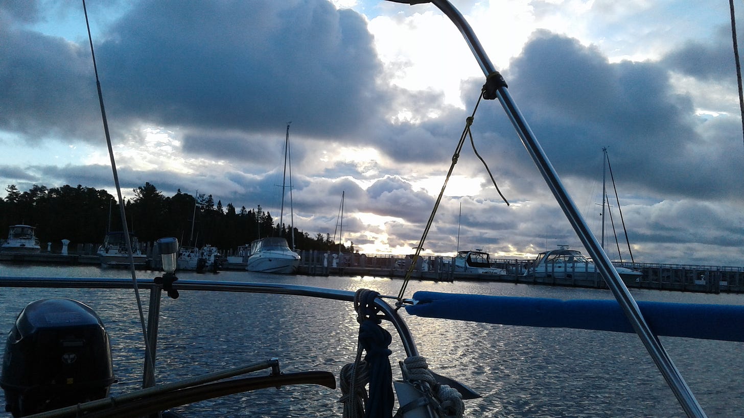
Presque Isle Bay comes into view just as the wind shift begins to build up in front of me sending the waves spraying in my face. One more mile to go. I see calmer water in the sheltered bay ahead and the wind is still blowing hard in my face. A radio call to Presque Isle State Harbor and Wayne answers. He and Tom will meet me at the gas dock to tie me off. I steer to my port and ease the Sea Marie alongside the fuel dock as the guys catch my dock lines and tie her off.
45.8 miles and I shaved off a few doing the channel cut. Gassed up my gas can and got my ‘well’ assigned I was ready to relax. Fair winds and gentle seas.
Back to normal breathing as I rest up at Presque Isle State Harbor.
Comments from 2016:
Mary Jo Cartledgehayes 20 feet to 5 feet! That'll hold your attention. Your daily notes are like a suspenseful movie.
Henry Krzemien RN Life is a suspenseful movie, isn't it? Never know what the next day is going to bring. Thanks, Mary Jo.
The WIFI signal from the Presque Isle Yacht Club restaurant is weak to my slip. Walked over to both lighthouses. Checked on Lake conditions. Deciding when to move on to Roger City 20m away. Wind and waves will decrease later this afternoon.
Scott Stanley Sikorski Glad you made it to Presque Isle, did anyone mention that the lighthouse was haunted., I believe our next stop when we traveled up there was Hammond Bay, I think we had to go up a river for dockage, the next dockage was at Mackinaw City. spent the night there and took the Shephards Ferry to Mackinaw Island, the lake was too rough for us to cross. a couple of days later we were able to get a dock on the island. was nice sitting on the boat watching Sysco food trucks and beer trucks on barges docking there. the owners of the restaurant and bars brought down horses and buggies to get their food and beer off the barges, no cars or trucks were allowed on the island, travel by horse or bike, had lunch at the GRAND HOTEL, excellent buffet and beautiful view from the 150 long front porches overlooking LAKE HURON...A MUST visit.
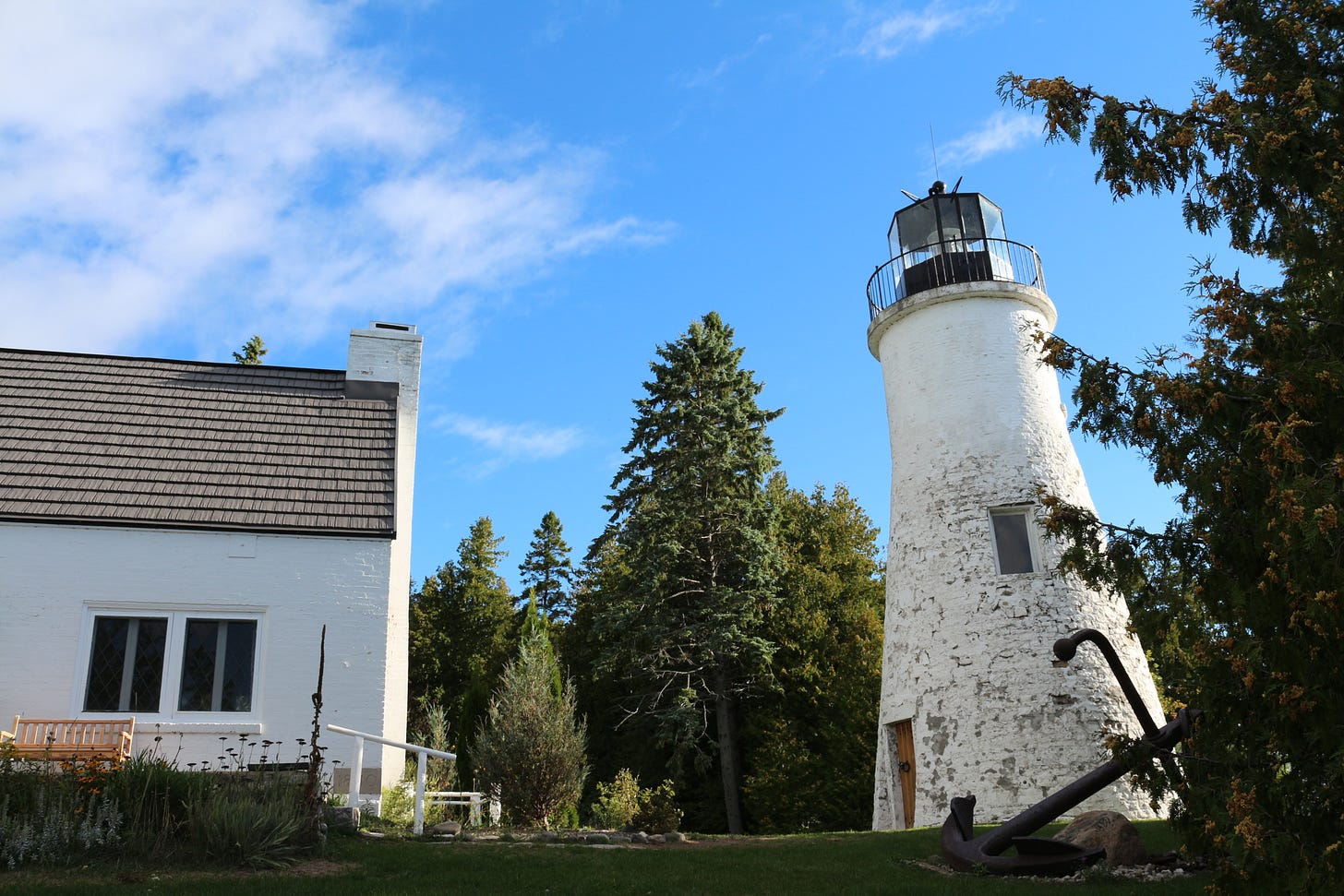
Hey Scot! Here is the haunted lighthouse which is the first lighthouse built on Presque Isle. There was no one around to get any details.
Ryan Shepard Glad the voyage has been safe so far Henry!
Scott Stanley Sikorski thanks Henry, that’s the one...beautiful skies in the background.
Sherry Thaler Well maybe at night there would be a ghost or two to ask...LOL
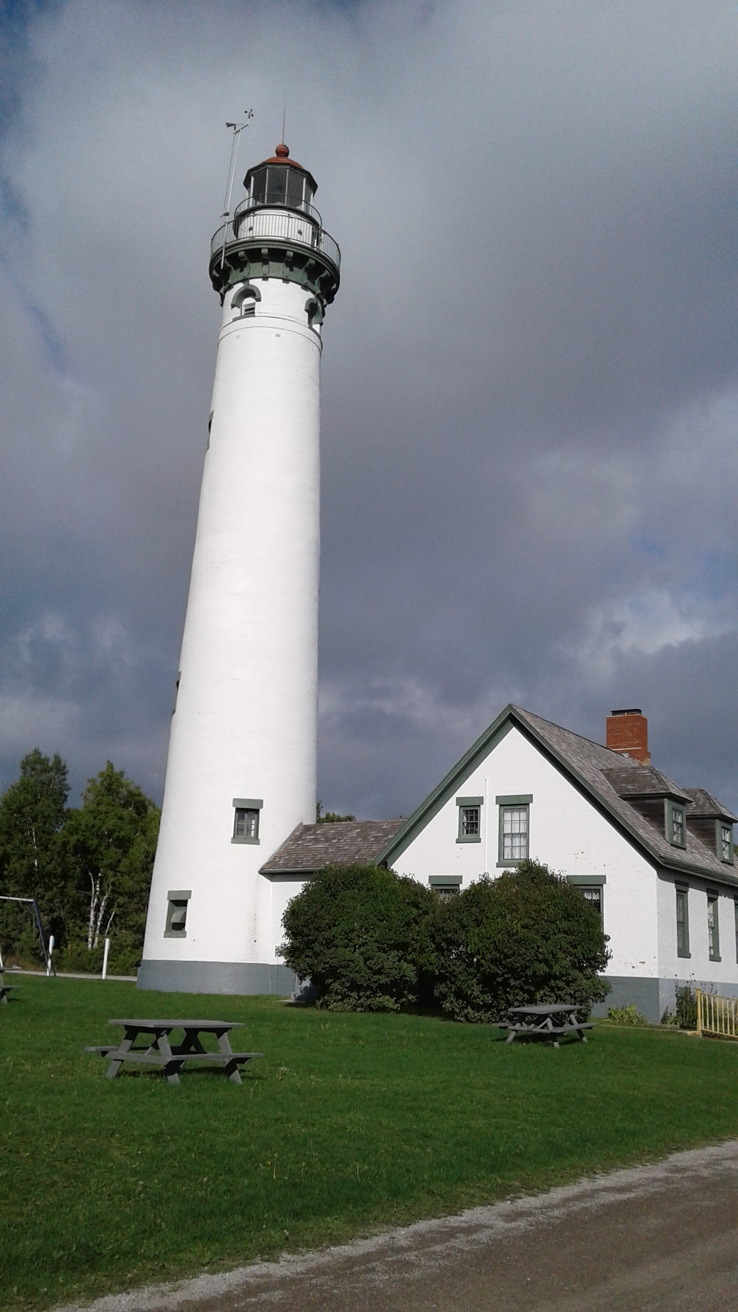
The new lighthouse was built in 1870 and was much taller.
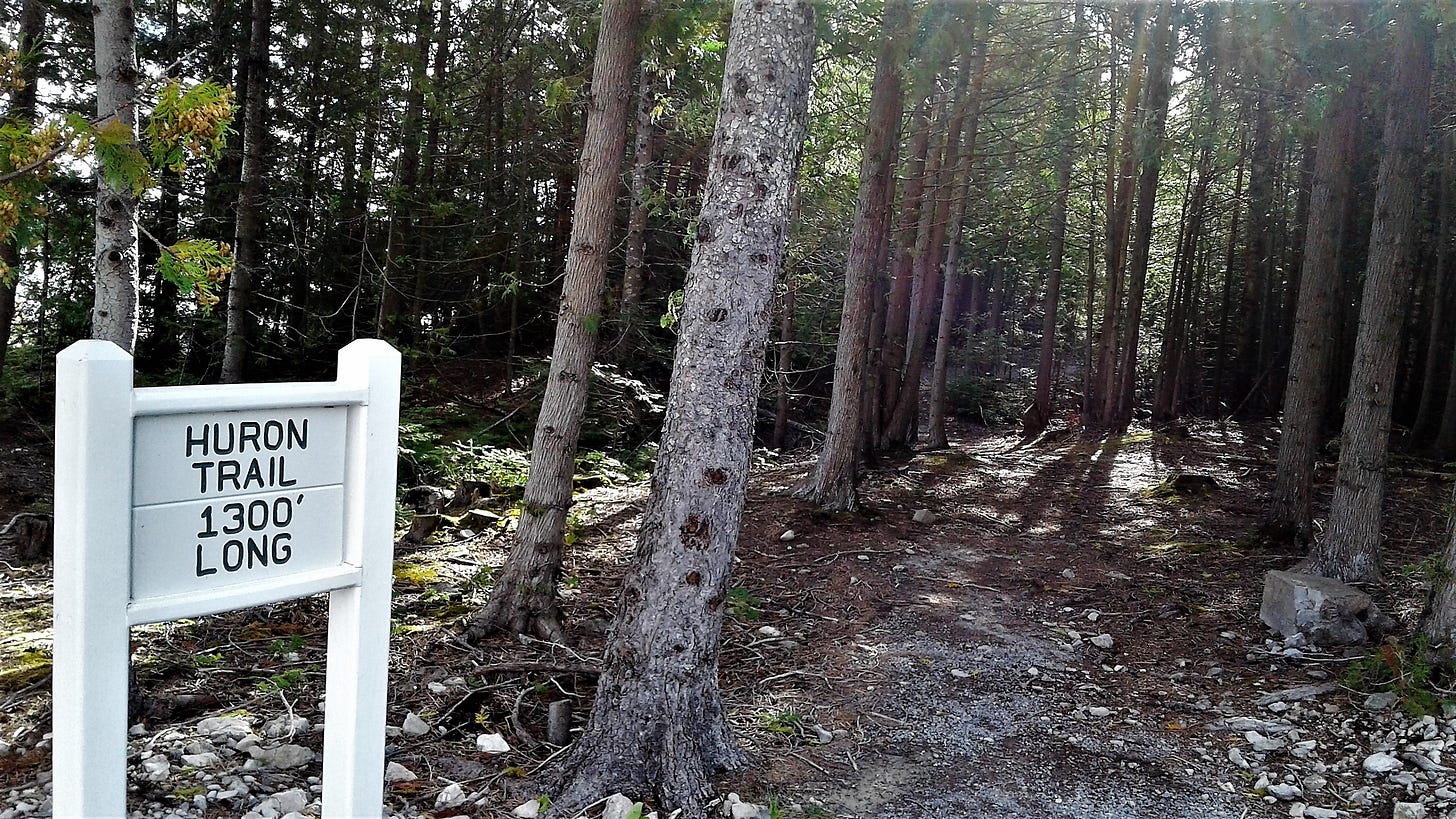
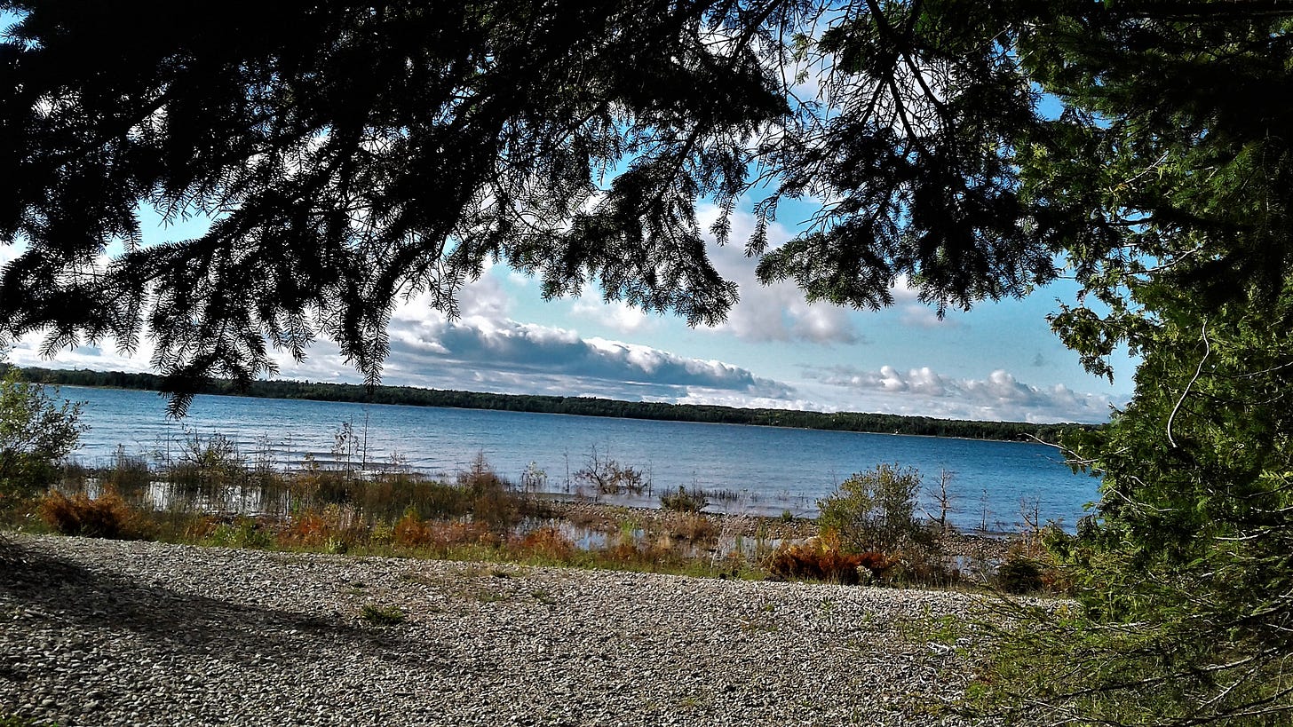
Several small trails lead around the lighthouses and along the shore.
Some were on boardwalks…
…and along the shoreline.
Sherry Thaler This one is AWESOME!!!


