


Great Loop Day 068 Nov 4, 2016, Grand Harbor to Bay Springs Marina.
Grand Harbor to Bay Springs Marina.

“You can make more friends in two months by becoming interested in other people than you can in two years by trying to get other people interested in you.”
― Dale Carnegie, How to Win Friends and Influence People
<Day 67 Previous Post | First Post | Next Post Day 69>
(Note: If this post is truncated in an email, readers can click on "View entire message" and they'll be able to view the entire post in their email app.)
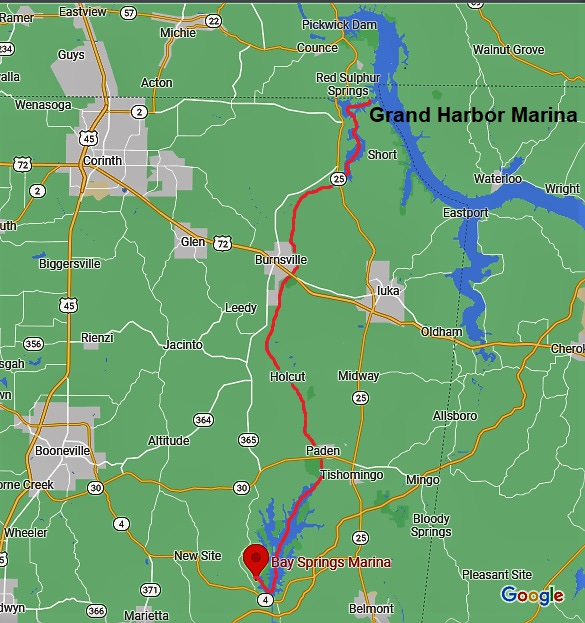
Day 68 Friday, Nov 4, 2016. Grand Harbor Marina to Bay Springs Marina. 39.9 miles. Goodbye Tennessee River. Hello Tenn-Tom Waterway. From here the water flows all downhill to the coast at Mobile, Alabama some 450 miles of it. Through a series of locks, we'll be lowered a total of 341 feet to reach sea level. There are 3 sections of the Tenn-Tom Waterway. The first part known as the "Divide Cut" is behind me. The following 52 miles are known as the "Canal Section". The final section is called the "River" and runs 140 miles.
A brief history- Tennessee-Tombigbee Waterway | Tennessee River Valley (tennesseerivervalleygeotourism.org)
This waterway was first proposed by the French back in the 1700s to connect the Tennessee River with the Tombigbee River. Construction didn't start till 1972 after decades of studies and Congressional approval. In 1977 President Carter proposed to stop all construction but public hearings overturned that decision. Nearly 2 billion dollars was spent on this project and the waterway opened in 1985. It's been noted this construction moved more earth than the massive Panama Canal. It employed more than 5000 people at the peak of construction and continues to provide jobs and income to this entire region. It shortened the trip from Pensacola, FL to Chattanooga, TN by 770 miles by avoiding the lower Mississippi River and its swift currents.
Steve and Twolynne have left the dock and are well on their way south.
Today’s travels.
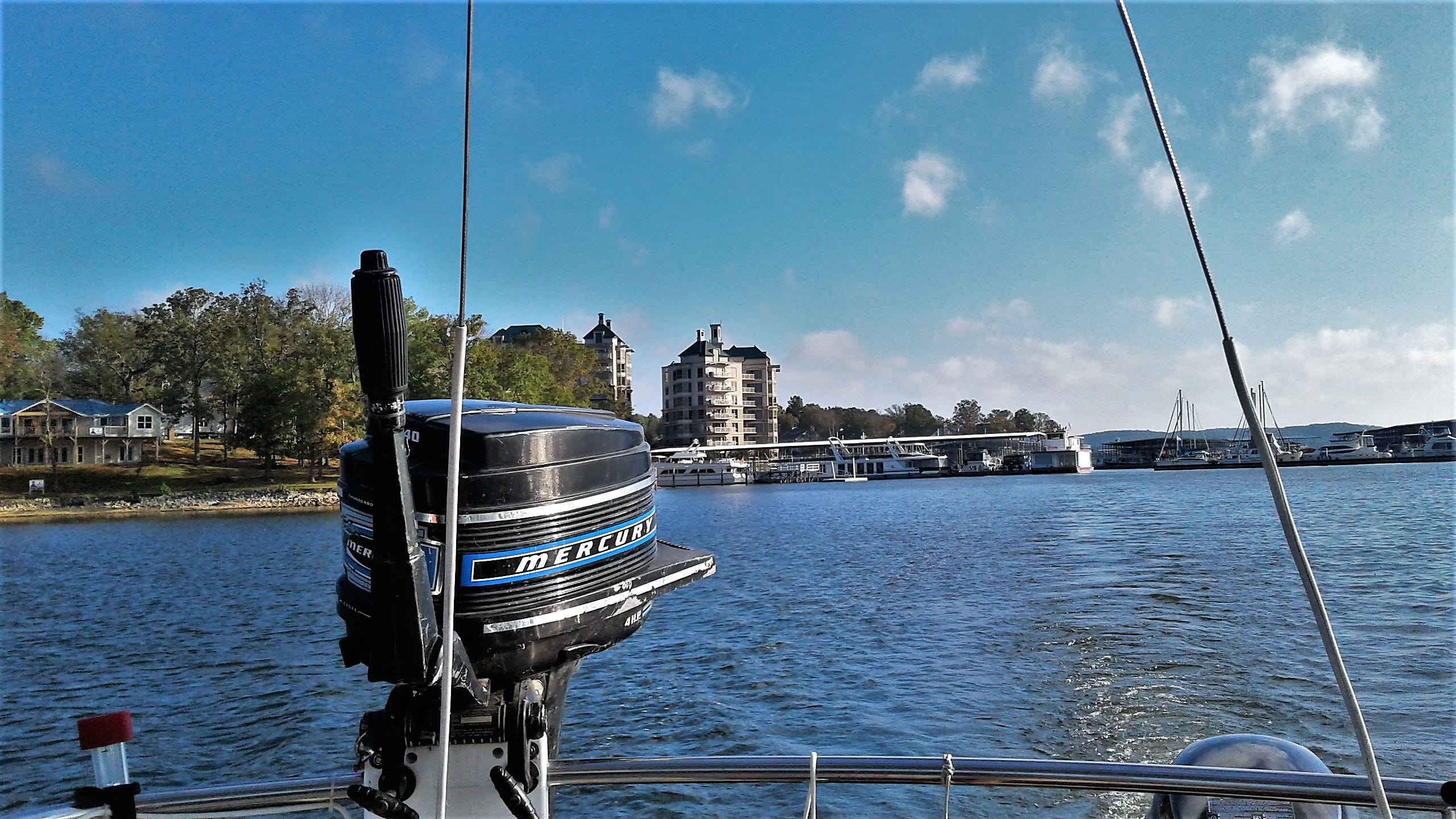
Saying goodbye to Grand Harbor.
I took off late this morning fully intending to anchor in Piney Grove for the night at mile 415.5, just before the Whitten Lock and Dam is at 412.0 miles. I was making better time than I thought so why not go to the marina and take the Lock first thing in the morning? I called the marina and made arrangements to dock outside a covered dock.
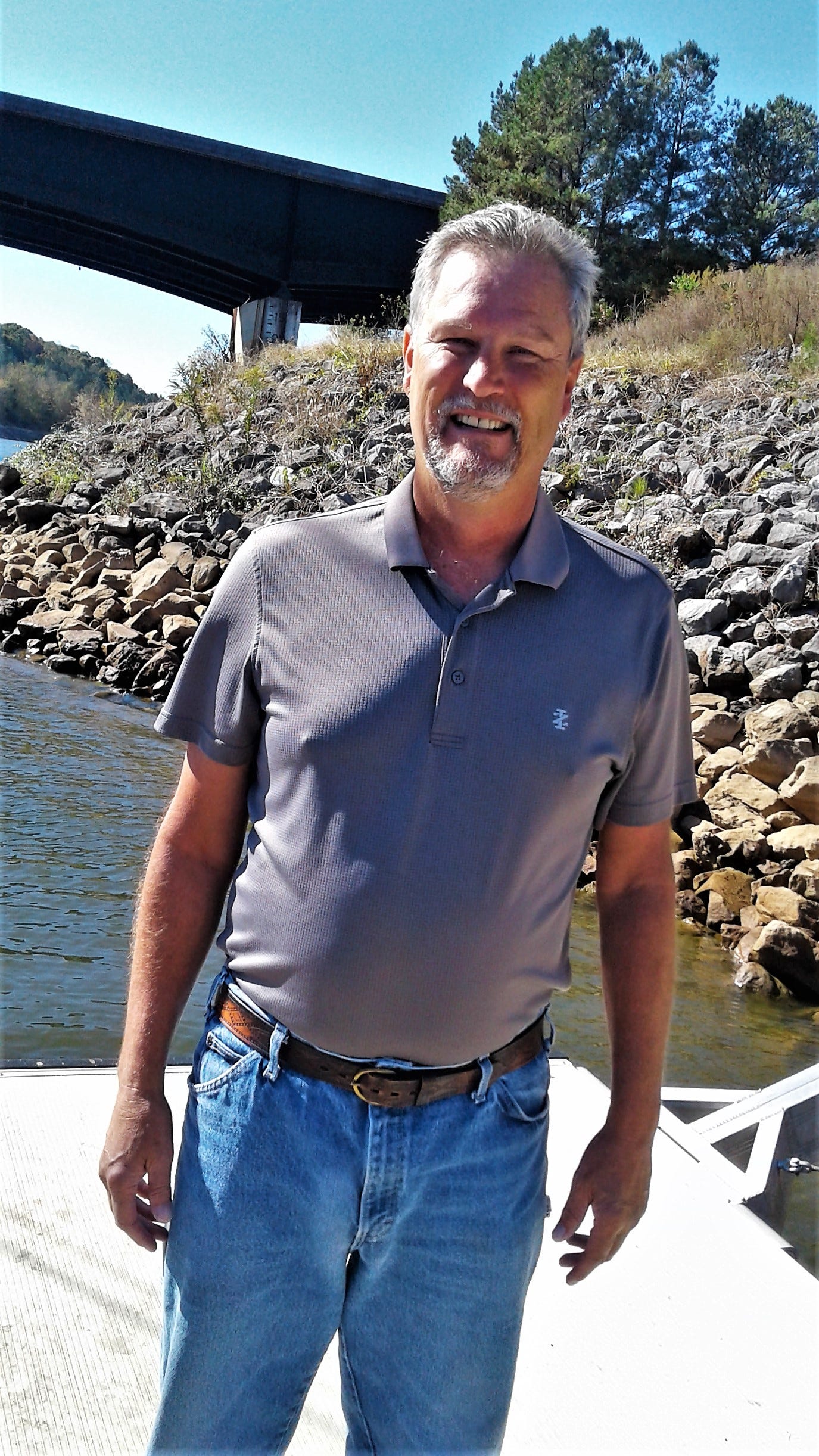
Earlier this morning I get a text from Johnny who happens to be Joe's brother who I met yesterday. He would like to see me on the canal at highway 25. I check my guidebook and navigation program. I passed that already. Looking at the navigation program further downriver is highway 72 and alongside a small boat launch ramp, Burnsville Boat Ramp. Texted Johnny how long it would take me to reach this spot and he texted back he'll be there to say hi.
It didn’t take long to get there now that I’m going with the current. I see the bridge and then the boat ramp with a small floating dock on the right. If not too shallow I can make a stop. Judging the canal current I slow the motor and aim close to the nearest end of the dock I gently aligned alongside like someone who knew what they were doing.
Well, there's Johnny! Shaking hands and taking pictures. He informs me they have a cousin in the Key West area that would like to meet me as well. Then Joe at the top of the ramp yells out, "We're networking!!!" I guess we are, Joe. Said goodbyes and be in touch and Johnny gives me a big shove at the bow back into the canal. Well if that wasn't a pleasant rendezvous. For all of the 25 miles in this canal that little boat ramp with its little dock was the only access to the water from the road. And I got to meet a new friend there. Mickey just slept and showed no interest.
That's Johnny Barnes!
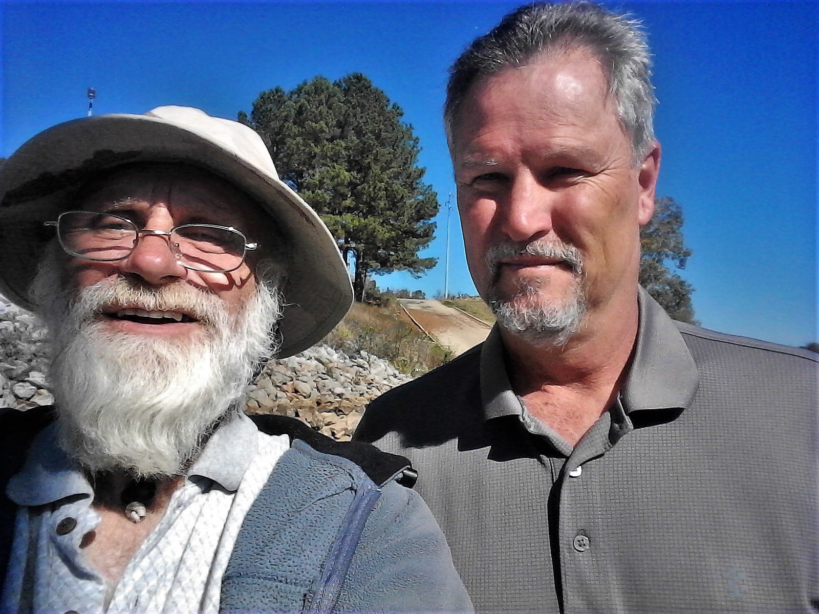
That's Joey Barnes!
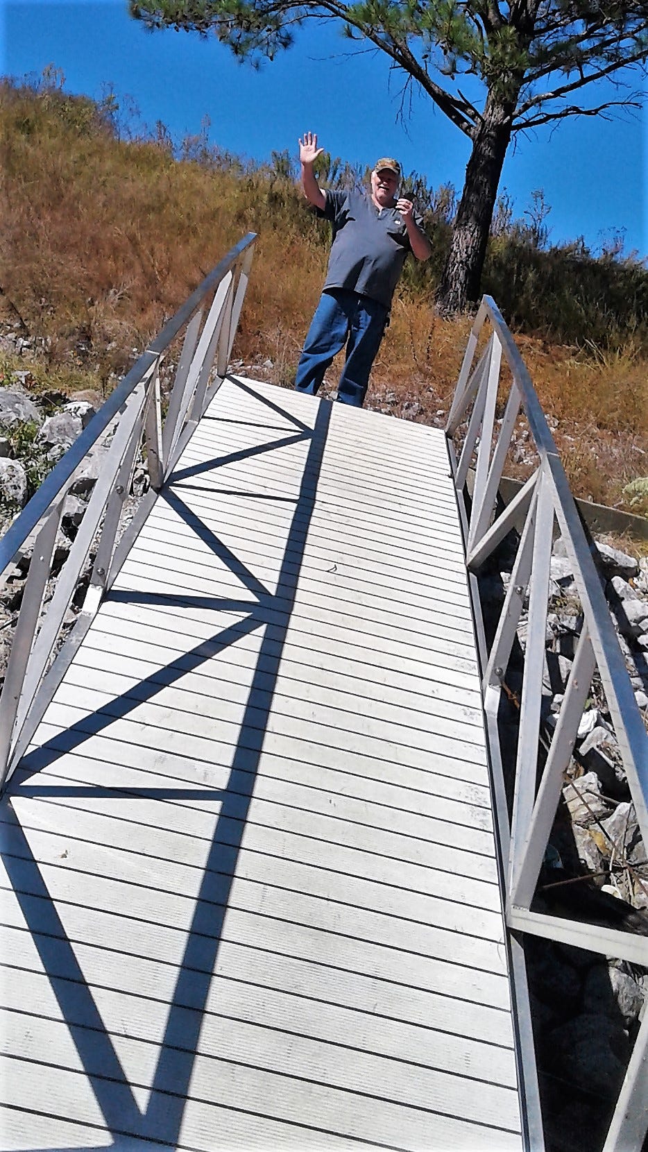
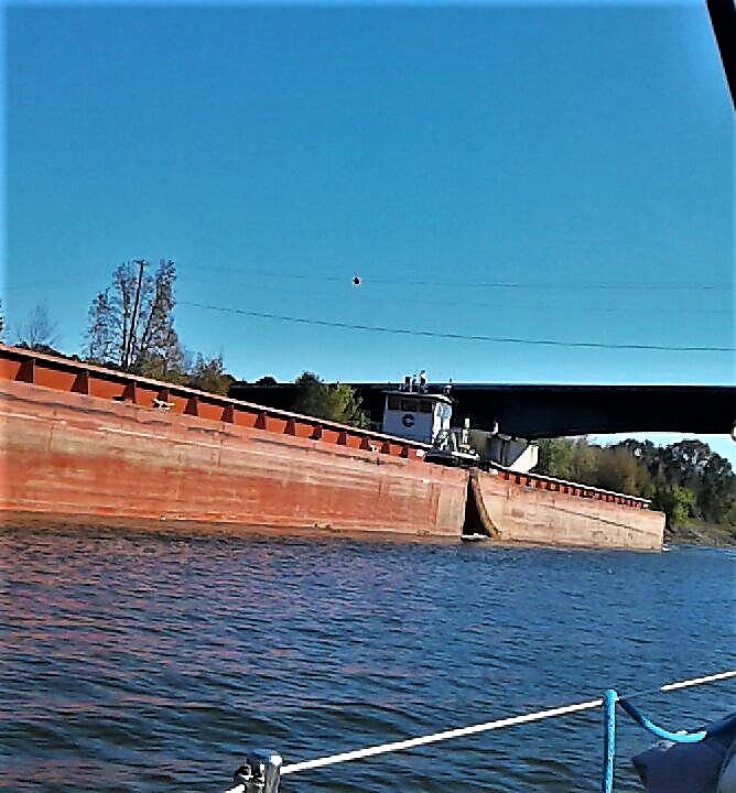
Continued to make good time. Texting with Ed Durma and around the bend was approached by a large tow. Learned my lesson well on the Cumberland River. I radioed the tug as soon as possible to ask where he would like me to pass. On the one whistle came back the reply. Tight but had room. A long 25 miles. Two other cruisers past me as well as a jet ski down and back. Finally, Bay Springs Lake opens up wide. A few more miles and I'll be docked. Well to all, Fair winds and gentle seas...
Passing a tow on the one!
The trees are getting ready to change color.
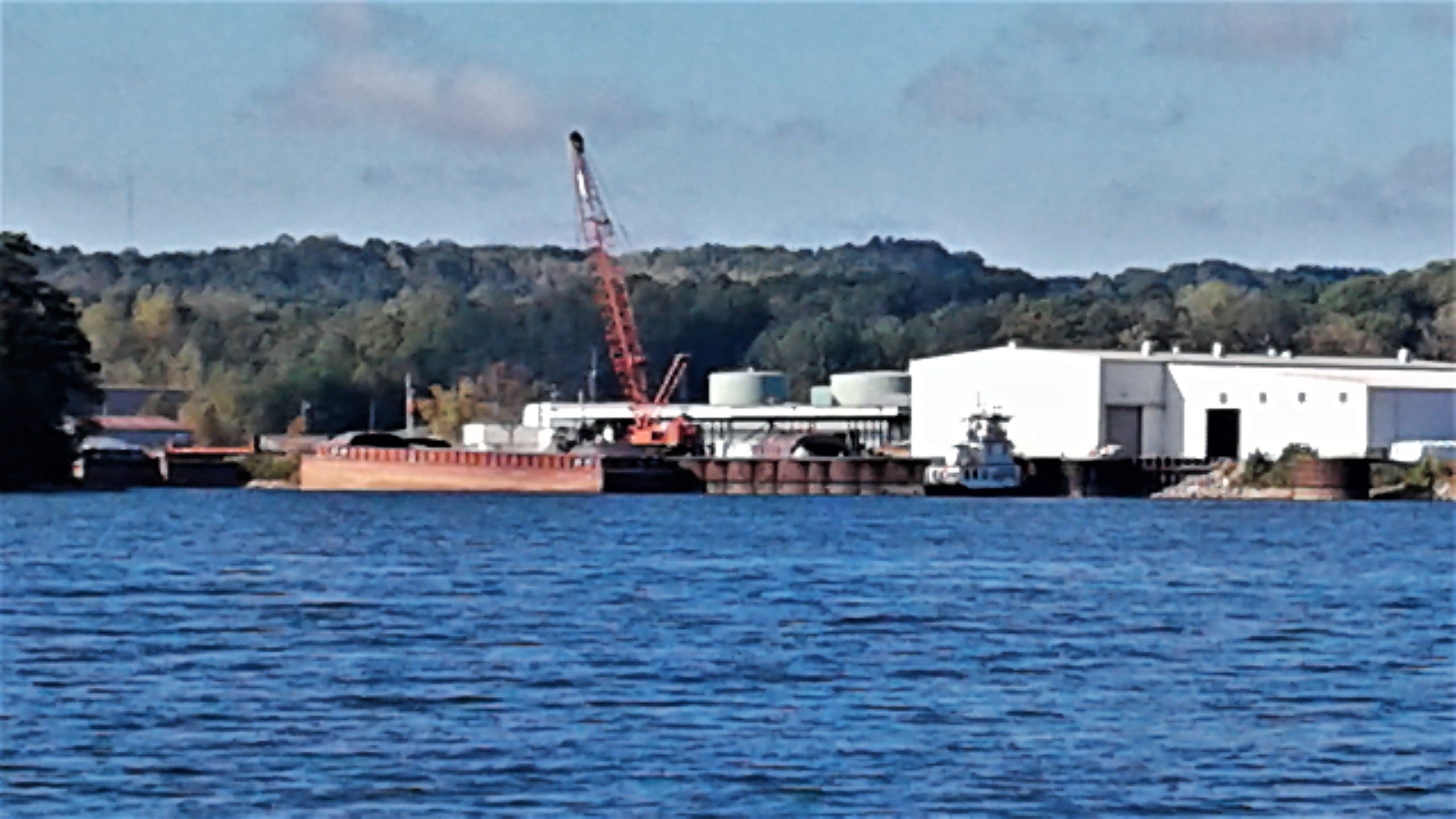
Every now and then an industrial complex shows up with barges either being loaded or unloaded.
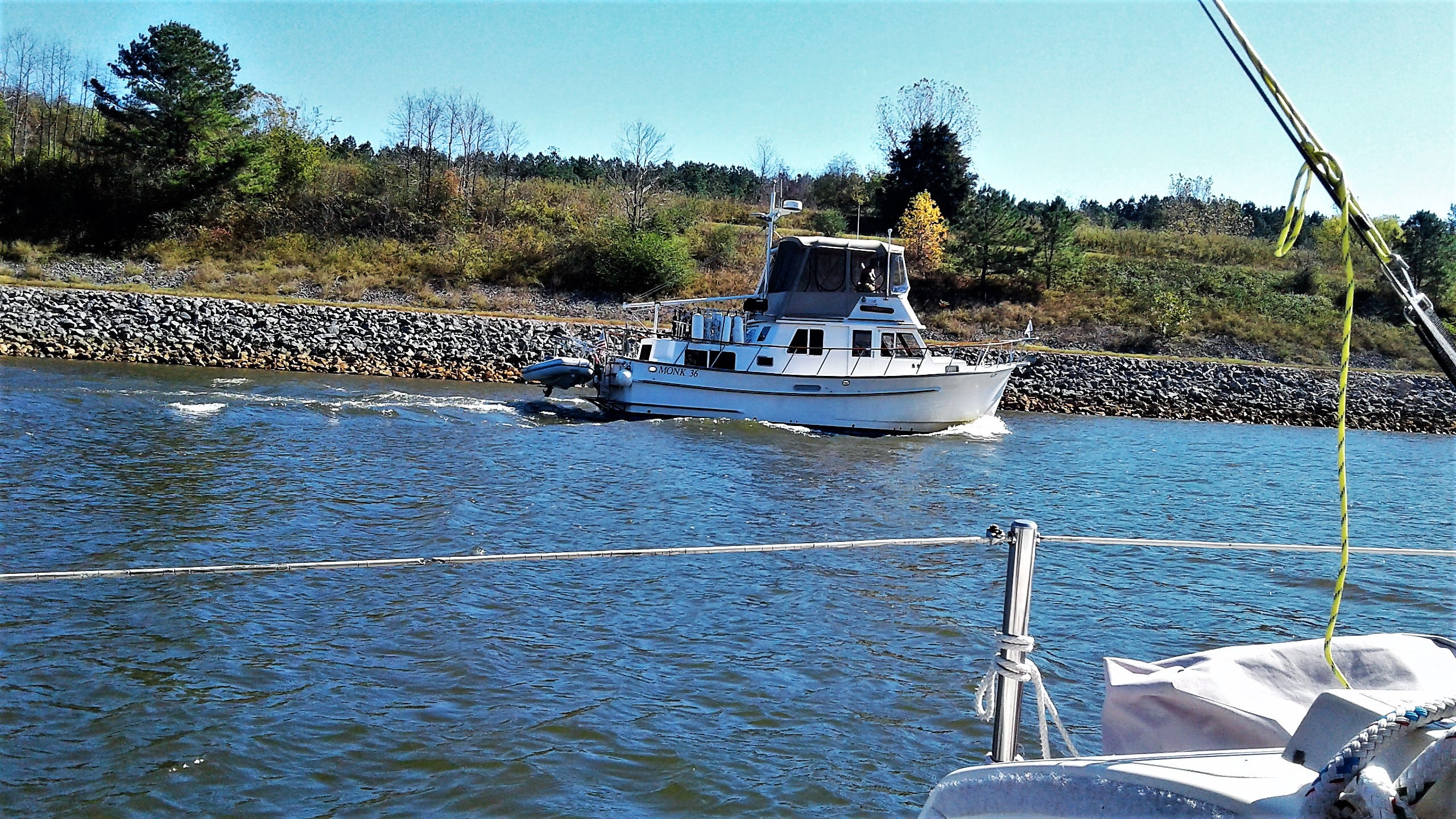
Suddenly another looper appears over my shoulder to pass.
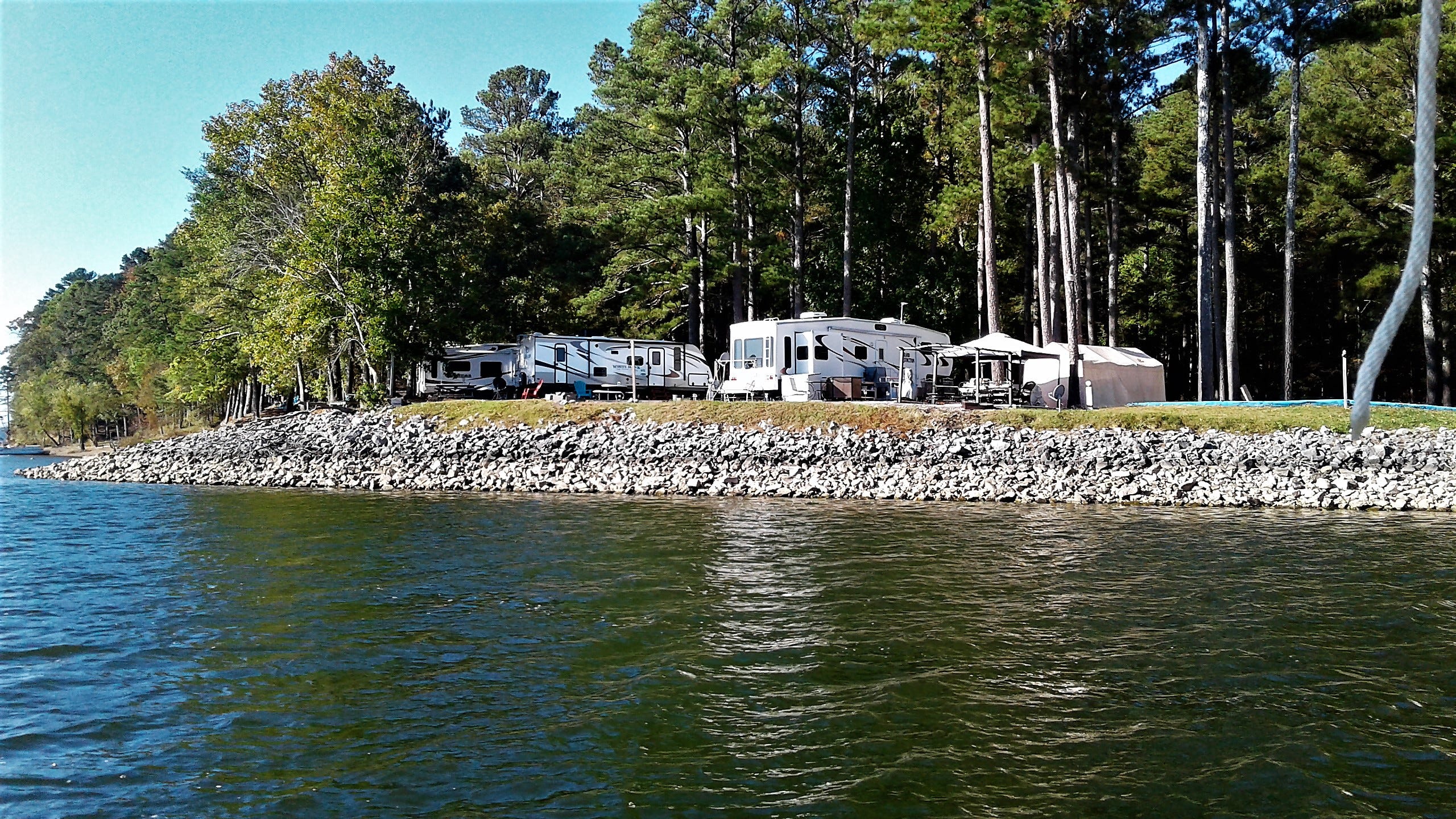
Imagine waking up to the smell of eggs and bacon your neighbor started cooking. That’s when you show up with your fork, spoon, and plate in hand.
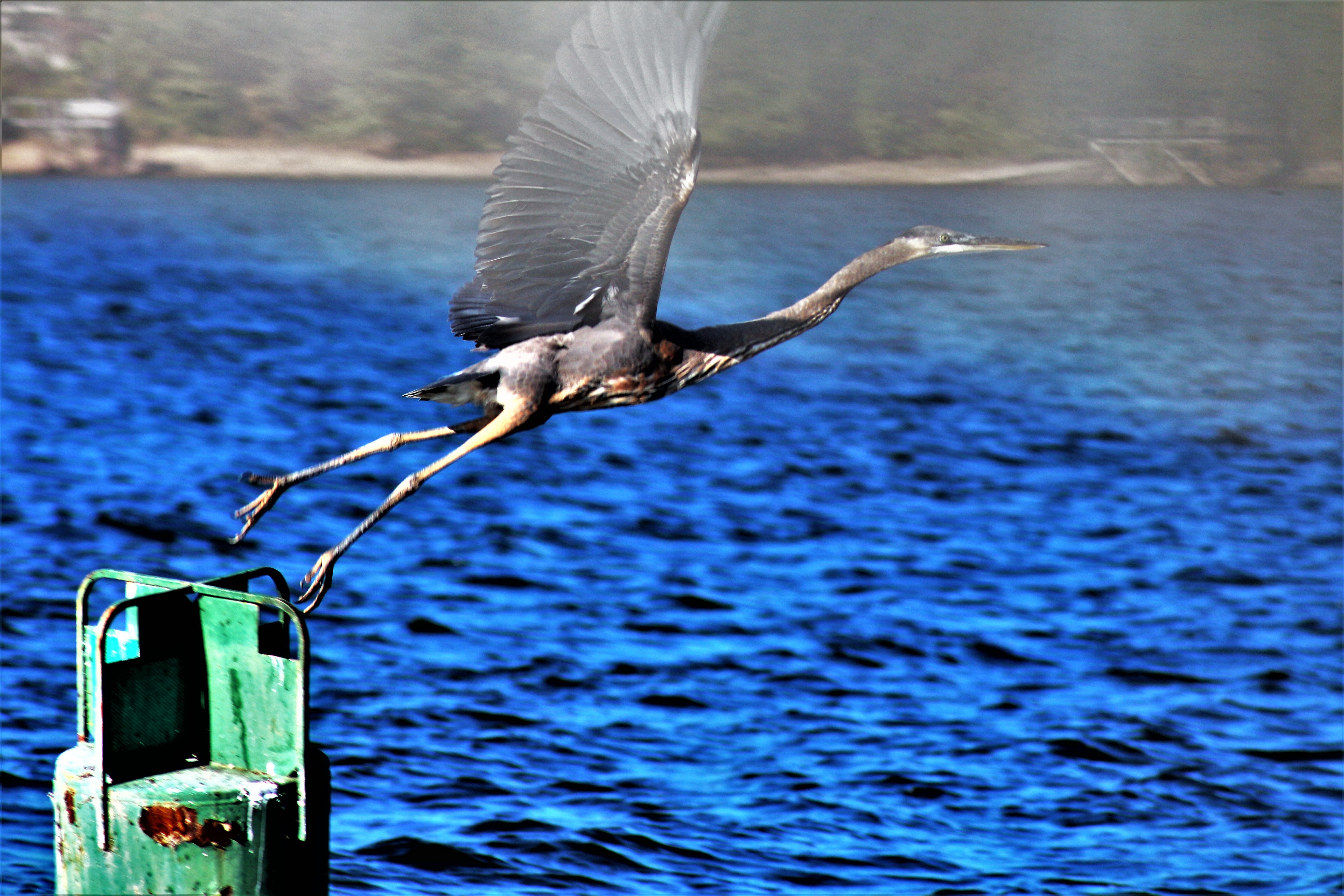
These navigation aids make good perches for our young great blue heron friend.
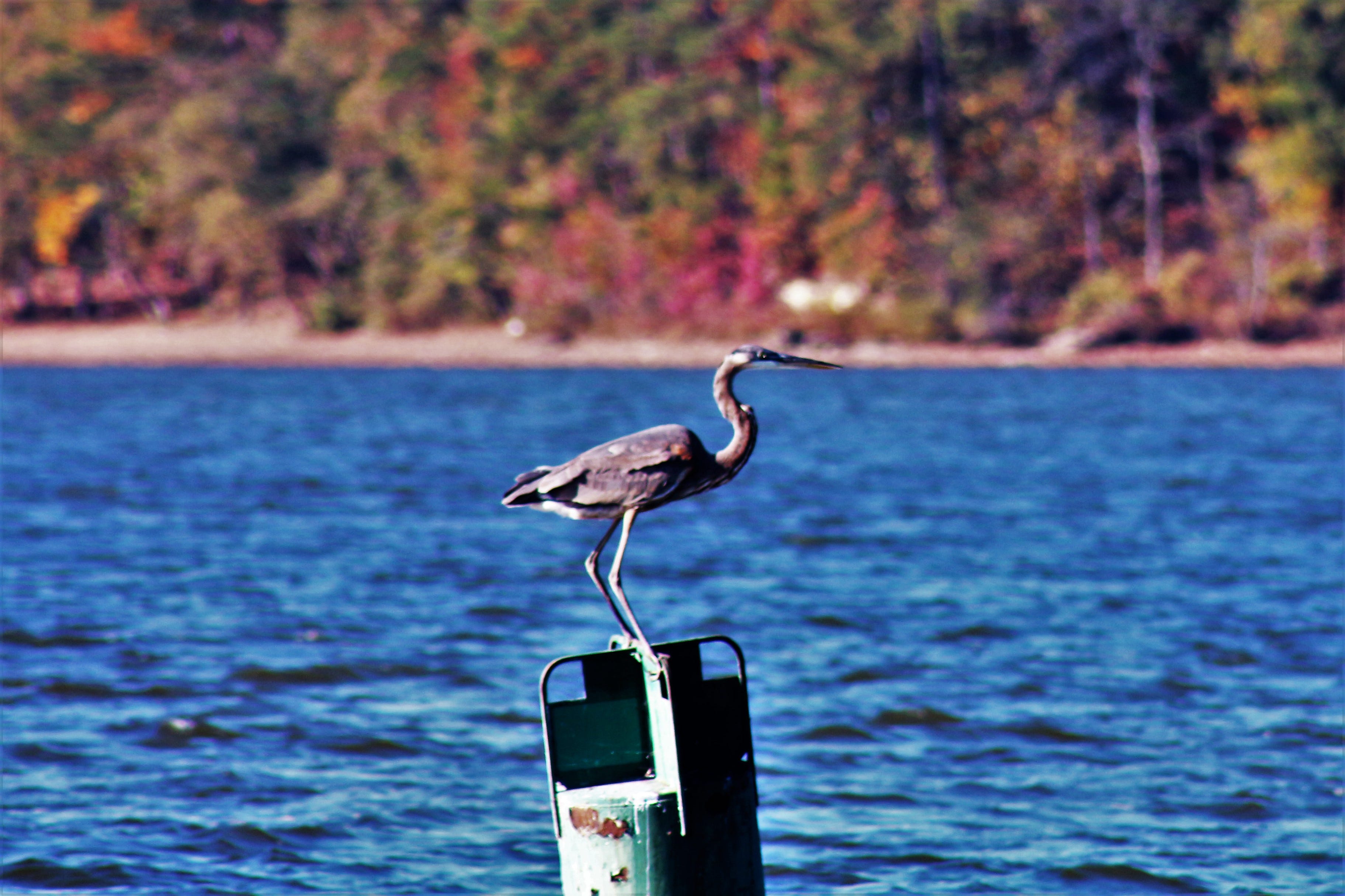
The perfect takeoff! Since the Mississippi wave incident, my Canon t4i DSLR camera was acting up having gotten splashed.
These concrete structures prevent side creeks from entering too fast into the canal. Also keeps logs and other large debris out of the canal.

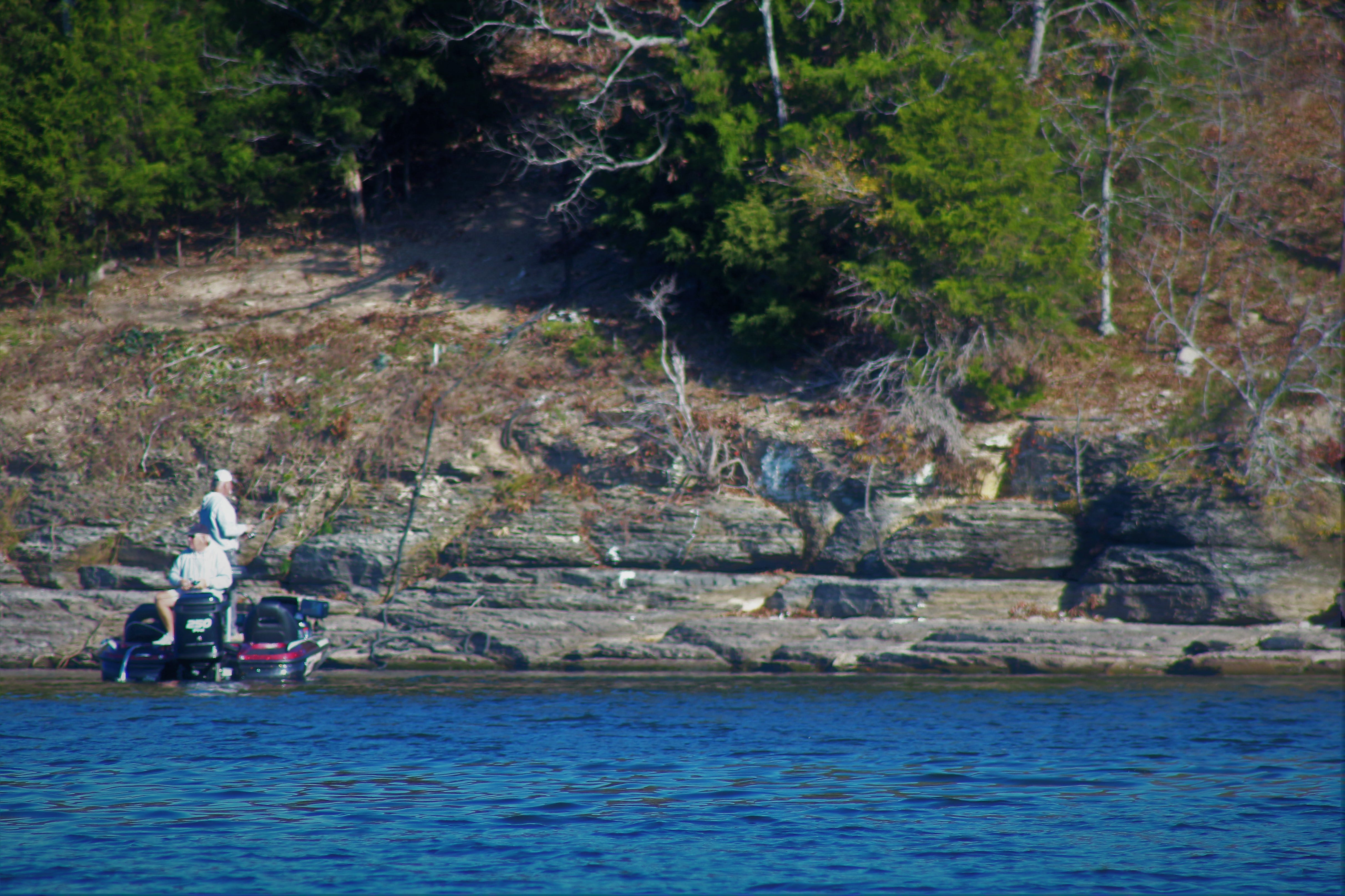
Working the shoreline.
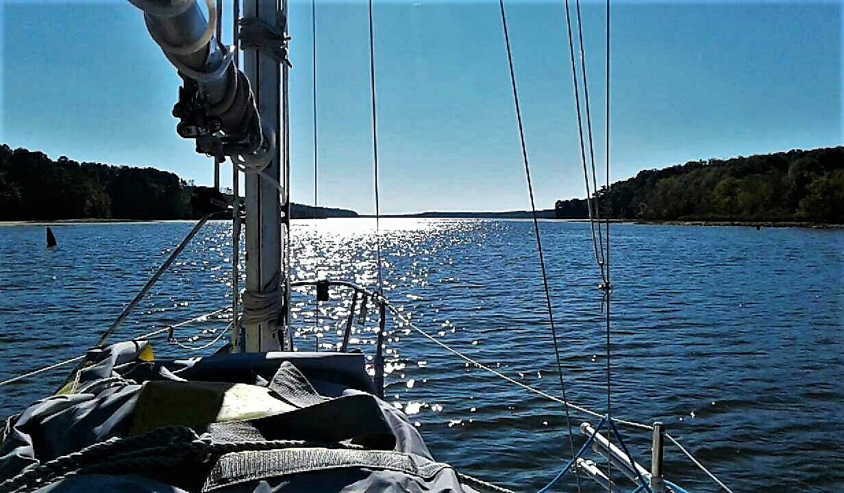
With the sun reflecting off the water we continue our way south.
Comments from 2016:
Dan Sheridan What an adventure! I've crossed over the Tenn-Tom a couple of times while bicycling down the Natchez Trace. It seems beautiful.